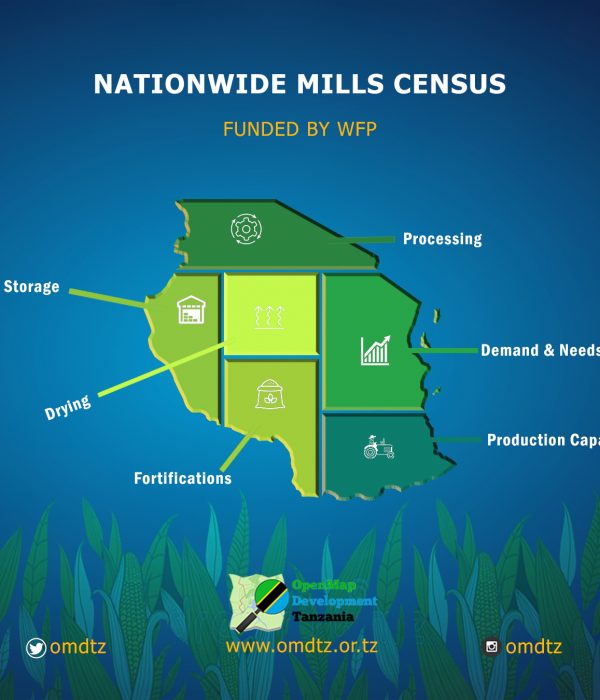
OpenMap Development Tanzania (OMDTZ), supported by WFP Tanzania, will conduct a national-wide mills census in the coming four months. The project aims at mapping approximately 13,000 mills and additional mills found in the field by collecting Geographical Positioning System (GPS) coordinates, operation, production capacity, type of mills, commodity milled, flour fortification, and other relevant information. The data will be uploaded to the OpenStreetMap platform — a free editable map of the world where anyone with an account can add and download data.
The milling sector in Tanzania forms a crucial part of food security in Tanzania with over 50 million Tanzanians consuming maize (Ugali) every day, providing 40% of household calories on average. The sector is primarily divided into large-scale mills, small-to-medium-scale and small toll mills and it is estimated that 95% of all maize flour in the country comes from small-scale mills. However, little reliable and up-to-date data is available for these thousands of small & medium scale mills around the country that many Tanzanian households depend on every day for their maize meal. The available data tends to be scattered across different wards and is infrequently updated. The project aims to make this data available and fill the existing data gap.
Data availability and access play a great role in informing decisions in most sectors, especially the food sector. In Tanzania, there has been a huge data gap especially in open data to support decisions and make a visible analysis of the situation and to what extent different geographical locations are affected differently by such problems. Mapping mills across the country will help actors understand the specific locations, distribution, and capacity of each mill in the country and in turn help to analyze food situations in terms of storage and security within places.
OMDTZ will deploy community mapping approaches by working with communities in the specific region. Datasets collected will be uploaded to the OpenStreetMap platform where anyone can view and download for different uses. OMDTZ will build an interactive map — a user-friendly and special visualized map with all the information collected from the field to allow users to filter different attributes from the collected data. The interactive map will include datasets that cannot be uploaded to OSM i.e data with personally identifiable information (PII). Here is an example of an interactive map developed by OMDTZ to put all stakeholders in the innovation ecosystem in Tanzania on one platform.