STATUS
Finished
Dar es Salaam is one of the fastest-growing cities in Africa and will be a megacity in the near future. The city, home to an estimated 6,368,000 people, is particularly vulnerable to climate change effects, caused among other things by poor planning and infrastructure, construction in hazardous lands and riparian areas. The city is growing with rapid development making it vulnerable to flooding, heat stress, and rapid land-use change that results in deforestation.
Trees right now are not adequately managed in Dar es Salaam because of this urbanization. For instance, the rate of soil loss is much higher in urban areas than it is in the Pugu Hills—a peri-urban area with a low population—and the ongoing deforestation without proper permission has led to an overall temperature increase. Development in the city has greatly reduced the natural tree canopy.
Trees in cities, a main component of a city’s urban forest, contribute significantly to human health and environmental quality. Urban forest ecosystem assessments are a key tool to help quantify the benefits that trees and urban forests provide, advancing our understanding of these valuable resources. Urban trees are critical to the health of cities. In low and middle-income countries, urban tree management is often hampered by a lack of data. Decisions on cutting permits, species to select for planting, mitigation of danger to people and infrastructure, and understanding the services provided by trees is difficult without a decent urban stand inventory.
In high-income countries, there often exist detailed inventories down to the individual stem! However, the cost of obtaining such inventories in places like Dar es Salaam using the same methods as in Manhattan is simply not feasible. However, using community mapping techniques, it is possible to create stand inventories that are fit for the purpose of management.
In order to respond to these issues, the World Bank, OpenMap Development Tanzania (OMDTZ), and Greenstand engaged in a project to enhance urban tree management in Dar es Salaam. The outcomes of this are a more targeted management of tree cutting permits, identification of tree desert areas, mitigation of heat islands, more effective planting and tending of urban trees, and having a city with better aesthetics. The ultimate goal is to enhance government and community capacities to establish and manage green public spaces and urban trees with all their associated ecosystem services.
Phase one February – March 2020, pre-phase two June to July 2020, and phase three September – October 2020
The project was funded by the World Bank and implemented in collaboration with Greenstand.
It was implemented in three phases:
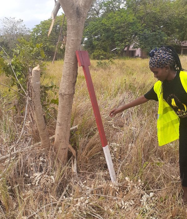
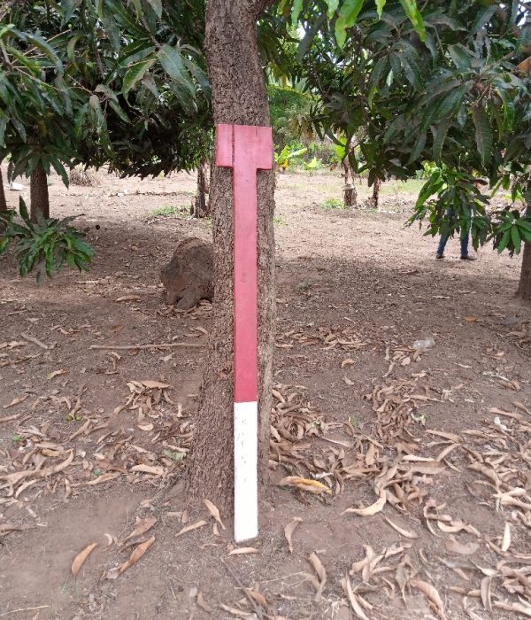
Phase one: Pilot Mapping Survey for 500+ Trees
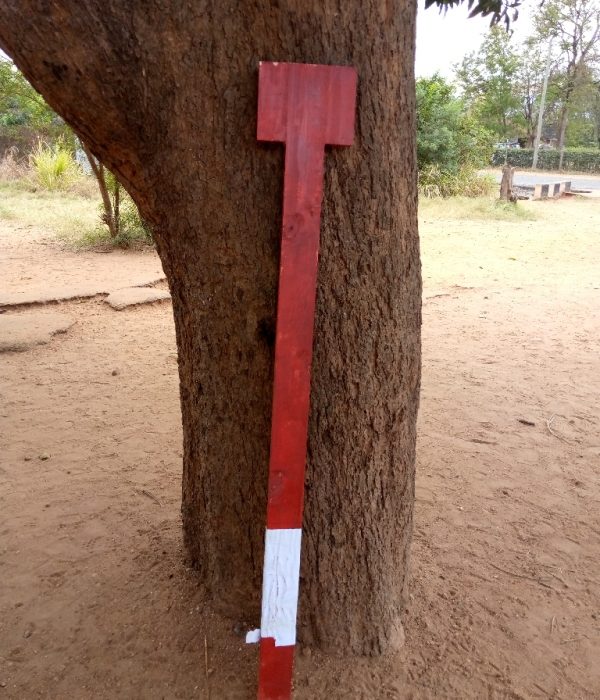
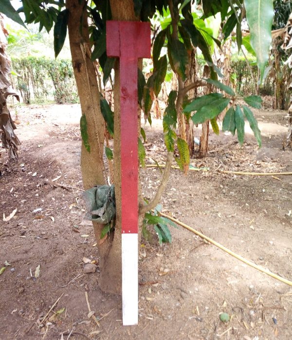
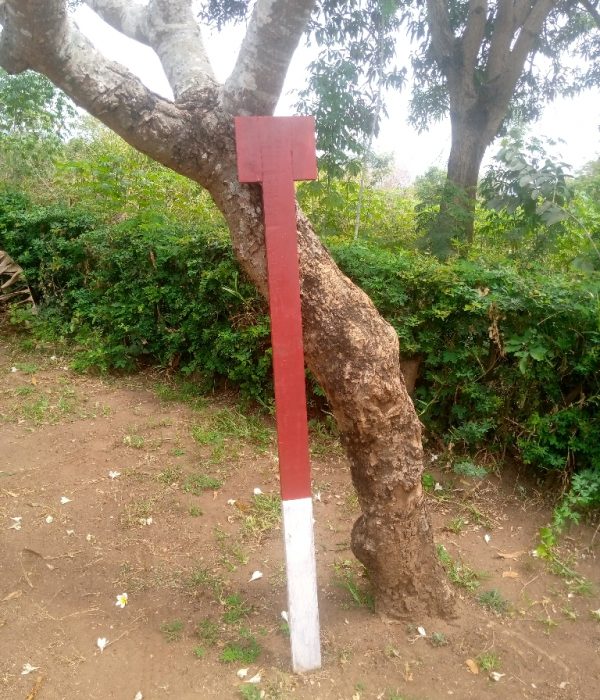
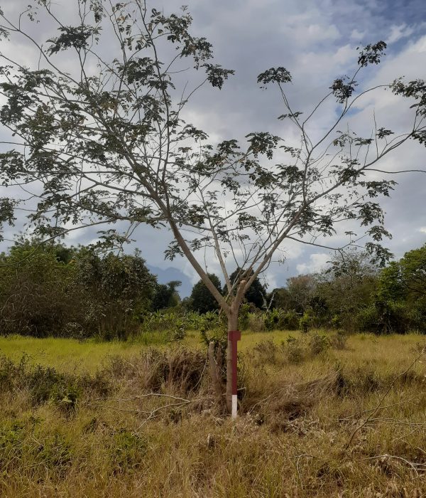
Phase two: Preparation of Tree Mapping Guidelines: How to Measure Tree Heights using Open Source Tools
Phase three: Industrial placement with 25/50 students (canopy and tree mapping)
Finished
Environment Conservation
World Bank | Greenstand
Dar es Salaam
Scalable City
The project has helped to create a way and methodology that is scalable in the city and other parts of the world which will allow us to understand the canopy of the city, enhance urban forestry management and provide the government with quantifiable data to issue cutting permits.
Empowering of Local Community
The methodology created is intended to empower teams of local community members or students in low or middle-income countries to conduct large-scale urban tree inventories with inexpensive, widely-available equipment. It is not intended to produce the kinds of results that would be gathered by professional foresters using hundreds or thousands of dollars worth of laser rangefinders, digital clinometers, climbing gear, and so forth.
Generating Data Using Phones
We have developed a method using only mobile phones and tape measures that generates data with 15% to 20% differences from that obtained with clinometers (albeit without calibration using laser rangefinders).
Training and Supervision
The method requires rigor proper training and supervision is essential. However, without the requirement for expensive and difficult-to-obtain equipment, it is entirely possible for dozens or hundreds of students to participate in urban tree mapping campaigns, putting the dream of comprehensive urban tree inventories within practical reach.