STATUS
Finished
Ramani Huria is a community-based mapping project in Tanzania that began in 2015, training university students and community members to create accurate maps of the most flood-prone areas of Dar es Salaam. Before the project, three core challenges were identified:
To address these, a multi-sector approach was designed based on three pillars: Risk Identification, Risk Reduction, and Disaster Preparedness and Emergency Management.
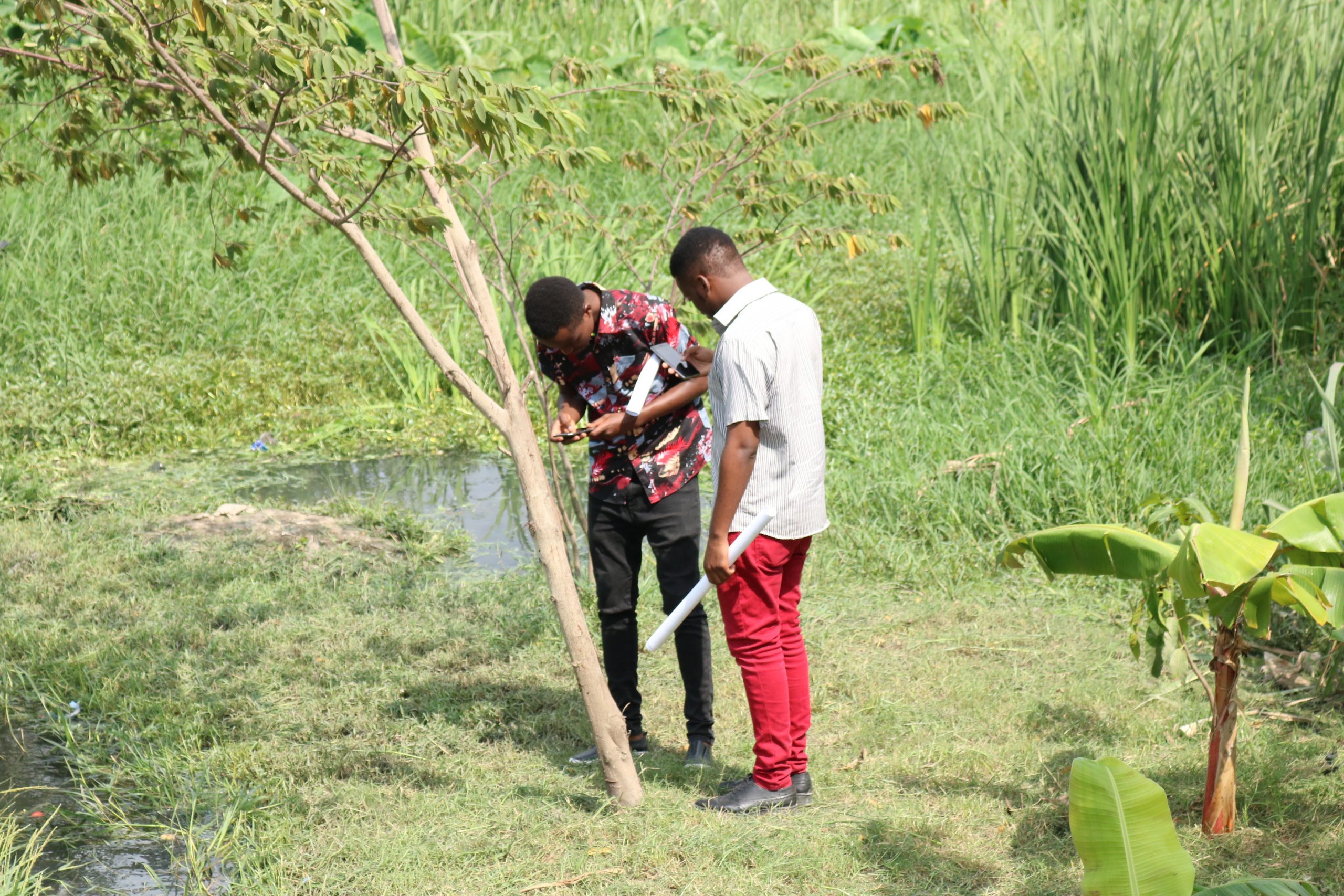
Humanitarian openstreetmap Team (HOT) in collaboration with OMDTZ emphasized training university students and local people to develop their own capacity to understand and map their own neighborhoods by using locally available tools such as smartphones, custom made measuring sticks for drain measurements, etc. The methodology used has three main strategic significances, namely:
The project is supported by funding from the UK Department for International Development through the Tanzania Urban Resilience Programme
The primary implementers on the project are Humanitarian Openstreetmap Team with OMDTZ managing data collection and field operations
The Ramani Huria project has operated in two main phases since its kickoff in 2015.
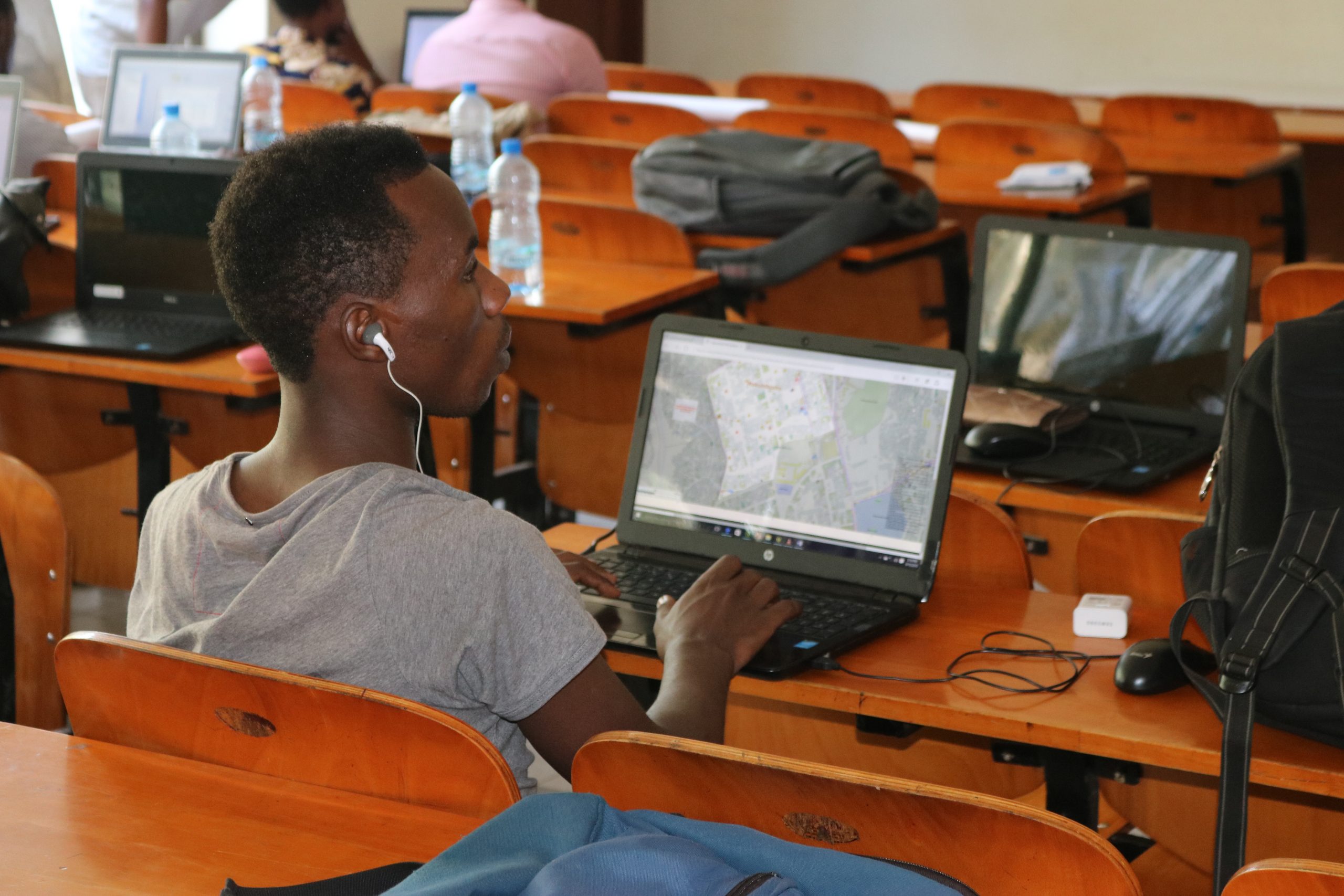
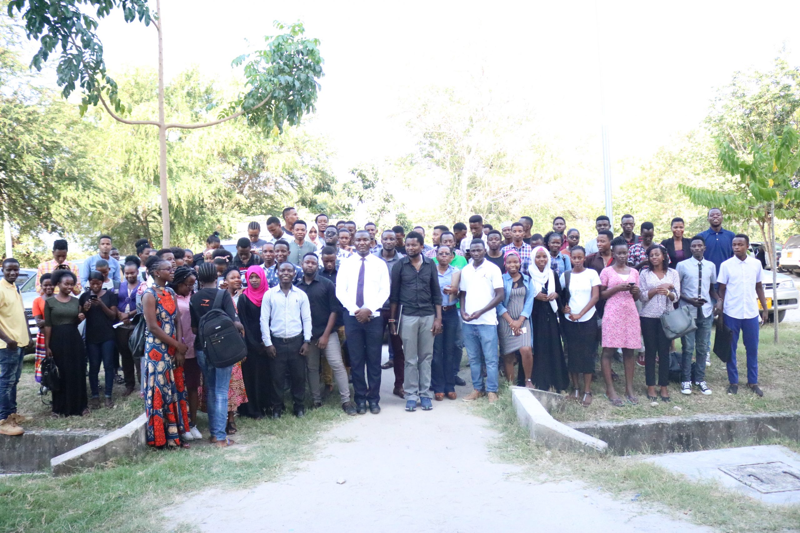
We started phase one of the project in 2015, training more than 150 students to create detailed maps of the city. At the beginning of the project, we collected map data on paper, with students sent out into the city to collect the GPS locations of features such as buildings, rubbish points, tracing drains manually with clipboards and pens. This map data was then added to JOSM and uploaded to OpenStreetMap. One problem we faced was that data management and monitoring of collection was relatively poor, as it was hard to track those mapping around the city and corroborate if the GPS locations were taken correctly.
This first phase of Ramani Huria successfully started open mapping in Tanzania. The project showed the authorities, other organizations, and community members understand the power of mapping and how the map can be a critical tool to integrate with disaster planning, relief, and recovery.
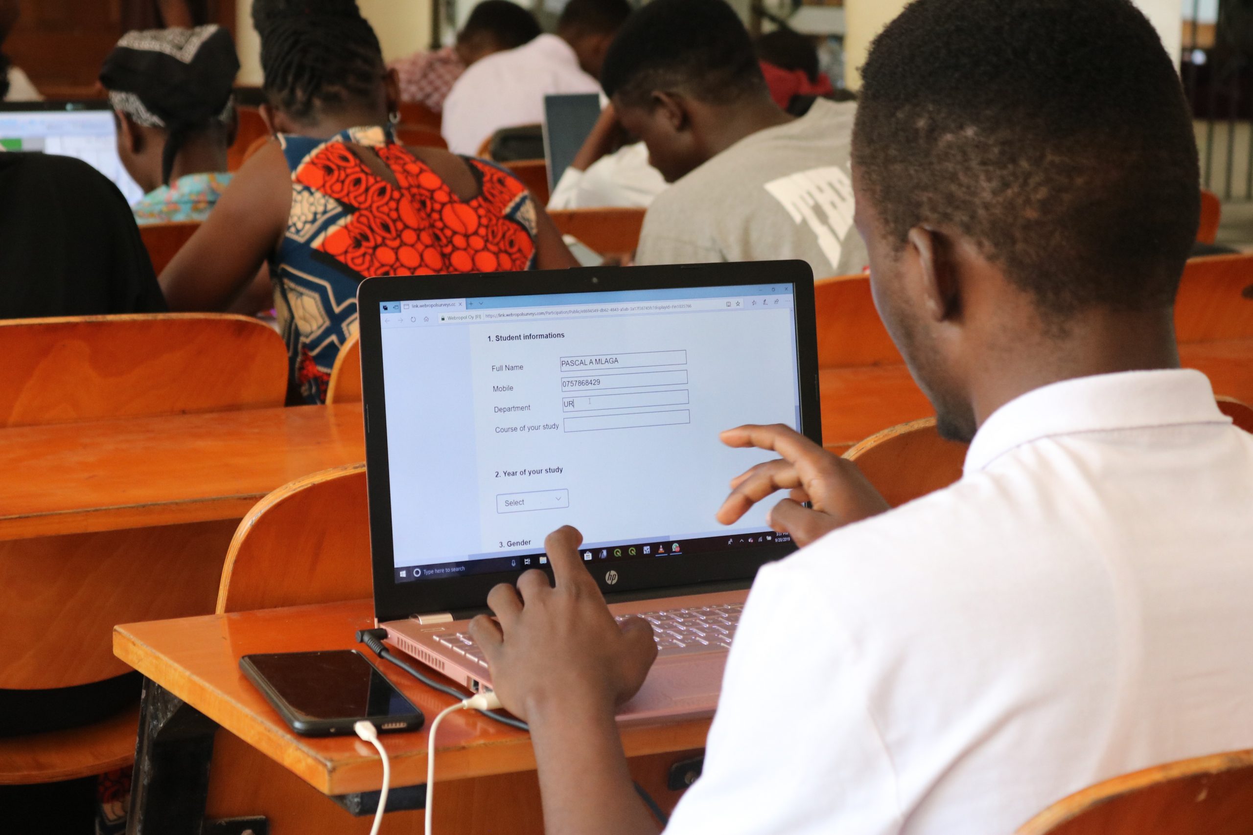
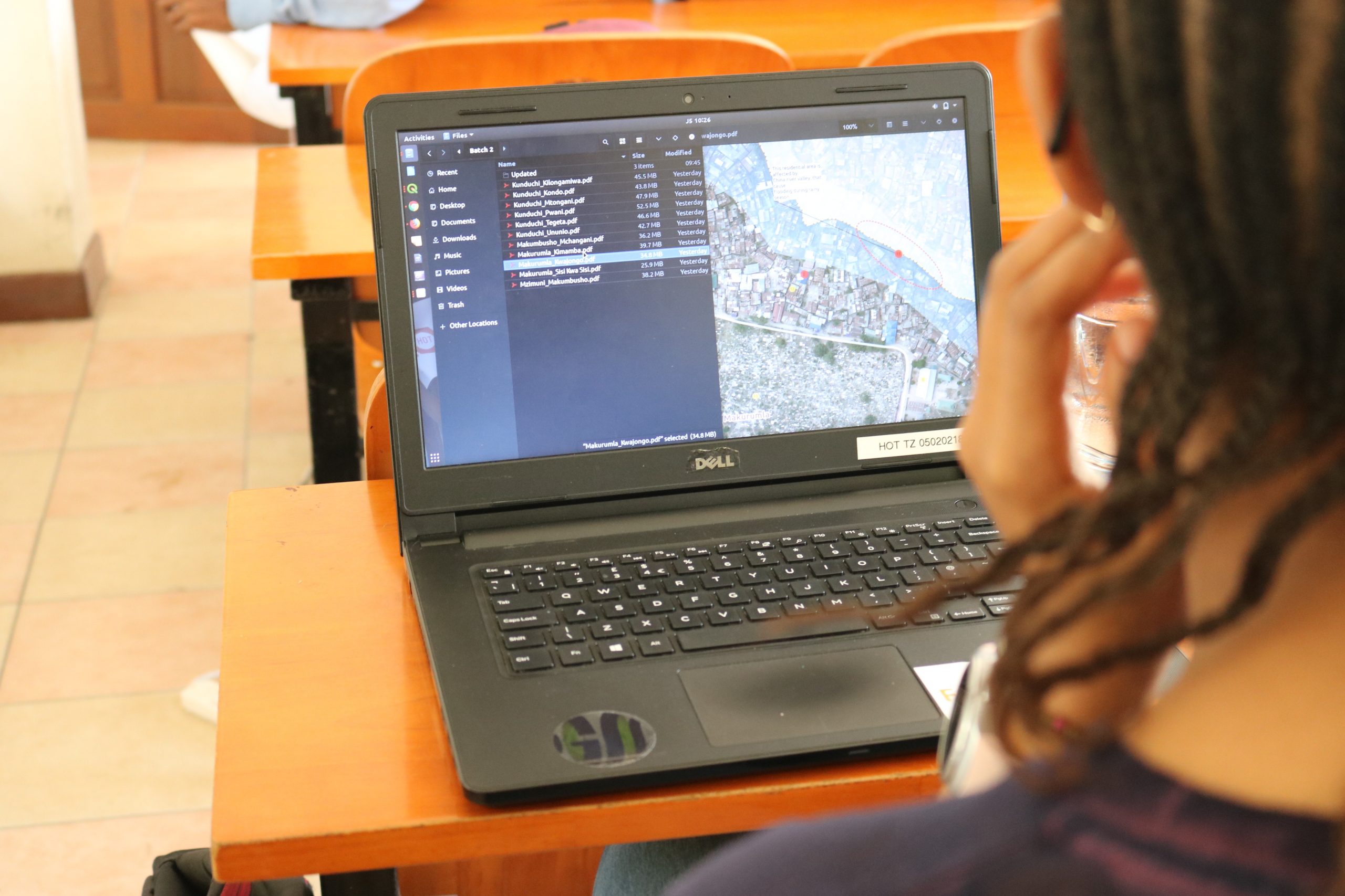
For the second phase – which began in 2017 – we collected map data with mobile phone applications, such as Open Data Kit and Open Map Kit. Using these tools solved the challenge we faced in phase one, as it made data collection and management much easier. The online applications meant we could monitor the field data in real-time, as well as trace the history, time of collection, and who collected it, in case of any discrepancies. This made data more systematic and by being stored in a server, it enables users to access their files remotely, eliminating the burden of physically accessing data.
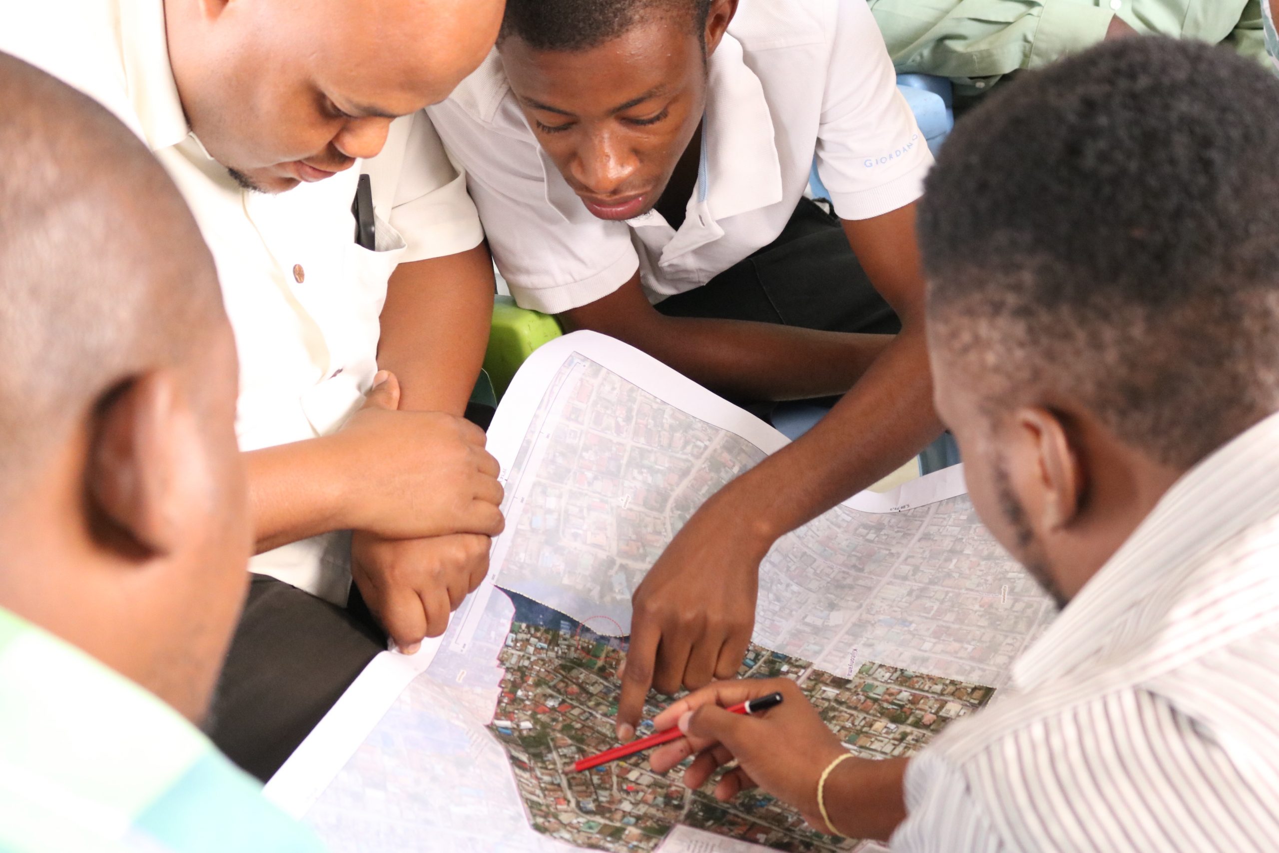
By using locally available tools and methods such as smartphones, measuring tapes, community knowledge, and other methods, Ramani Huria created quality, actionable map data. For example, our data has now been used in inundation maps, flood extent maps, trash point maps, community assets, and threats maps, drainage maps to mention a few.
Finished
Community Mapping|Disaster&Risk Assessment
World Bank
Dar es Salaam
Students and Community
Students and community members gained knowledge of a suite of open mapping tools, deepening their technical skills and awareness of data.
Reference for Other Countries
It provides a template for other countries: Other countries like Zambia, Mozambique, Sierra Leone are now looking at potentially replicating Ramani Huria, dubbed “the largest community mapping initiative in Africa”.
Influence Government Sectors
The importance of open-source tools in government institutions: One huge success is that the President’s Office Regional Administration and Local Government offices (PO-RALG) are working on administrative boundaries using our technical capabilities.
Enhanced the private sectors
Enhanced private sector use of data: Companies are using our data and methods of data collection to run their activities. For example, Green WastePro LTD – a trash collection company in Dar es Salaam – worked with us to develop a dataset to enable tracking and locating of their clients for better service and revenue.
Transfer of Knowledge
Transferring of knowledge to a Resilience Academy: Ramani Huria did not just collect and store data, but also devised a method to collect data, created guidelines. We are transferring all the datasets, maps, tools, learning materials and documentation of the project to the Resilience Academy, who will be carrying the project forward.